

Florida's governor Ron DeSantis urgently warned residents in the path of Hurricane Idalia to evacuate the state immediately as it approaches the US’s Gulf coast. Much of the state is in the eye of the category 3 storm, and it’s forecast to be affected by the coming severe weather.
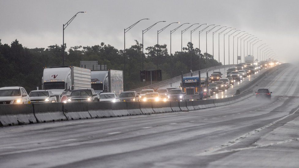
In a hastily arranged news conference set at the state's emergency operations centre, Governor DeSantis said that although residents still had time to evacuate, they had to go as soon as possible – at the very latest.
“Along evacuation routes,” he said, “tolls were being waived and some 420,000 gallons of fuel was ready to be deployed at petrol stations. Those coastal areas there have not necessarily been through this before".
Said to have not seen such a major hurricane since the 1800s, Idalia was set to reach wind speeds of 125mph (201 km/h) before reach the shoreline of north of Tampa.
Idalia was projected to expand high winds of up to 12in (30cm) of rain and potentially deadly storm surges as high as 15ft (4.5m) in some areas as it reached 275 miles (440km) south-south-west of Florida, according to ongoing updates from the NHC (National Hurricane Centre). "This has the makings of an unprecedented event for this part of the state," said its a bulletin.
Last year, Hurricane Ian made landfall in south-western Florida, wreaking more than $100bn (£79bn) in damage and killing over 100 people. But whilst Tampa International Airport remained closed, the state has mobilised more than 5,500 National Guardsmen, with up to 40,000 linemen on standby to tackle power cuts.
"This is going to be life-impacting storm surge," said Director of Hernando County Emergency Management, David DeCarlo. "There's going to be destruction of houses and homes and structures."
The states of Georgia, North Carolina and South Carolina could also see heavy rainfall as well, forecasters said. And, Hurricane Franklin, the first major hurricane of the season, could bring storm surges to the US East Coast, as well as Bermuda in the Caribbean. The impact of climate change on the frequency of tropical storms is still unclear, but increased sea surface temperatures warm the air above and make more energy available to drive hurricanes.
As a result, they are likely to be more intense with more extreme rainfall.