

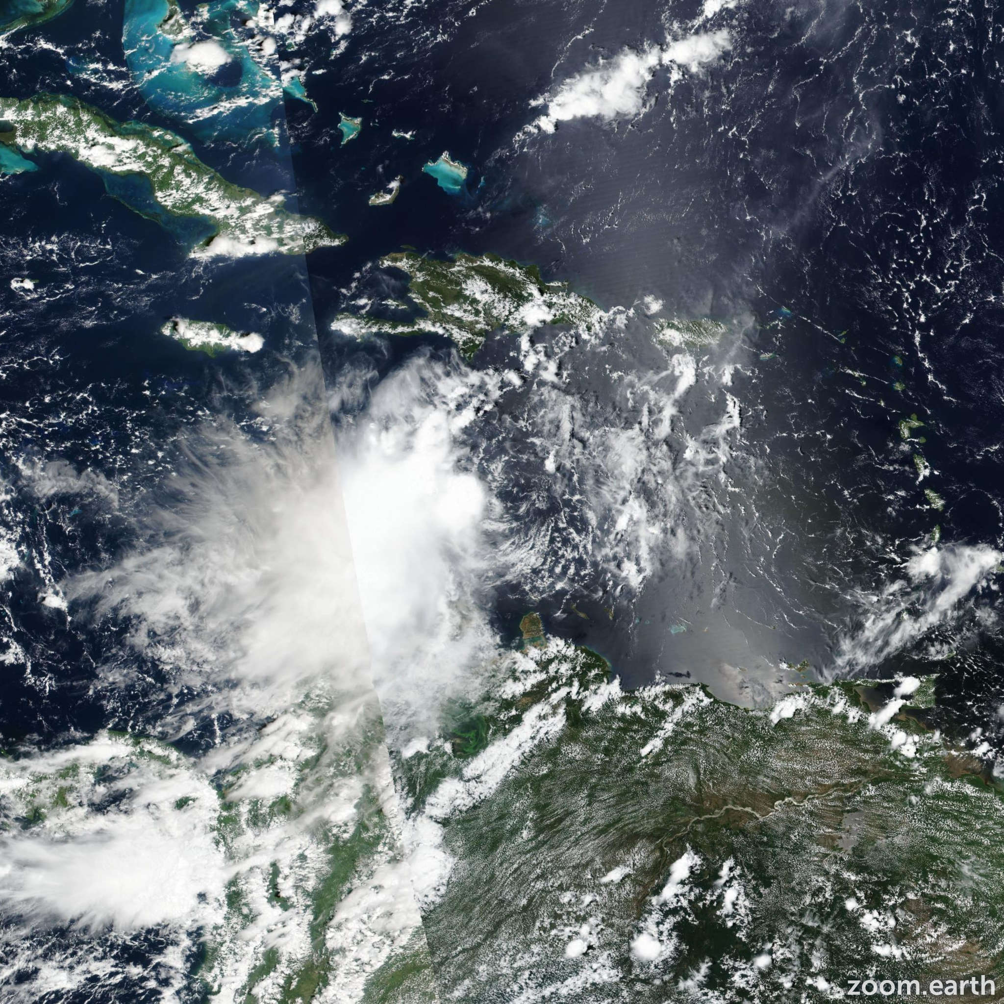
A tropical storm watch remains in effect for Jamaica Tropical Storm Ian continues to strengthen over the central Caribbean Sea. The Meteorological Service of Jamaica says Tropical Storm Ian could produce 100-200 millimetres of rainfall, mainly over eastern and southern parishes as it passes close to the island.
The centre of Tropical Storm Ian was located near latitude 14.7 degrees North, longitude 73.5 degrees West, or about 510 kilometres (315 miles) southeast of Kingston, or 459 kilometres (285 miles) southeast of Morant Point, Jamaica. Ian is moving towards the west near 22 km/h (14 mph). The storm has maximum sustained winds of close to 75 km/h (45 mph) with higher gusts.
On the current track, the centre of the storm was forecast to move across the central Caribbean Sea, before passing southwest of Jamaica and pass near or over the Cayman Islands.
Flash Flooding was therefore likely over low-lying and flood-prone areas. The Met Service is urging all small craft operators including fishers from the cays and banks to complete all the necessary safety precautions and remain in safe harbour until all warning messages have been lifted and wind and sea conditions have returned to normal.
Additional strengthening is forecast during the next few days, as Ian was expected to become a Hurricane late yesterday (Sunday). The centre of Tropical Storm Ian was located near latitude 14.7 degrees North, longitude 73.5 degrees West, or about 510 kilometres (315 miles) southeast of Kingston, or 459 kilometres (285 miles) southeast of Morant Point, Jamaica. Ian is moving towards the west near 22 km/h (14 mph).
The storm has maximum sustained winds of close to 75 km/h (45 mph) with higher gusts. On the current track, the centre of the storm was forecasted to move across the central Caribbean Sea, before passing southwest of Jamaica, before passing near or over the Cayman Islands early today.
Flash flooding is therefore likely over low-lying and flood-prone areas during the remainder of weekend and on Monday. The Met Service is urging all small craft operators including fishers from the cays and banks to complete all the necessary safety precautions and remain in safe harbour until all warning messages have been lifted and wind and sea conditions have returned to normal.
Additional strengthening is forecast during the next few days, as Ian become a hurricane. Ian was set to approach western Cuba on saturday.